Environment
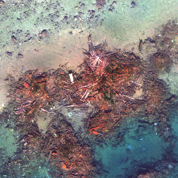
My research and advocacy increasingly focus on integrating science, technology, archaeology, and historical research to enhance heritage conservation and address environmental concerns. The Tirpitz Site Project in Tromsø, Norway, is a joint endeavour of UiT The Arctic University of Norway and the Scott Polar Research Institute, University of Cambridge. An innovative site mapping technique has been developed, that mapped the site from images taken by an aerial robot through the water. In 2025, REMARCO (Remediation, Management, Monitoring and Cooperation addressing North Sea UXO), a European project funded by Interreg North Sea, had an expedition to the site. Divers, aerial robots and an underwater robotic crawler were used to examine the site and collect samples. Initial results confirmed the presence of heavy fuel oil in the seabed and explosives next to mussels.